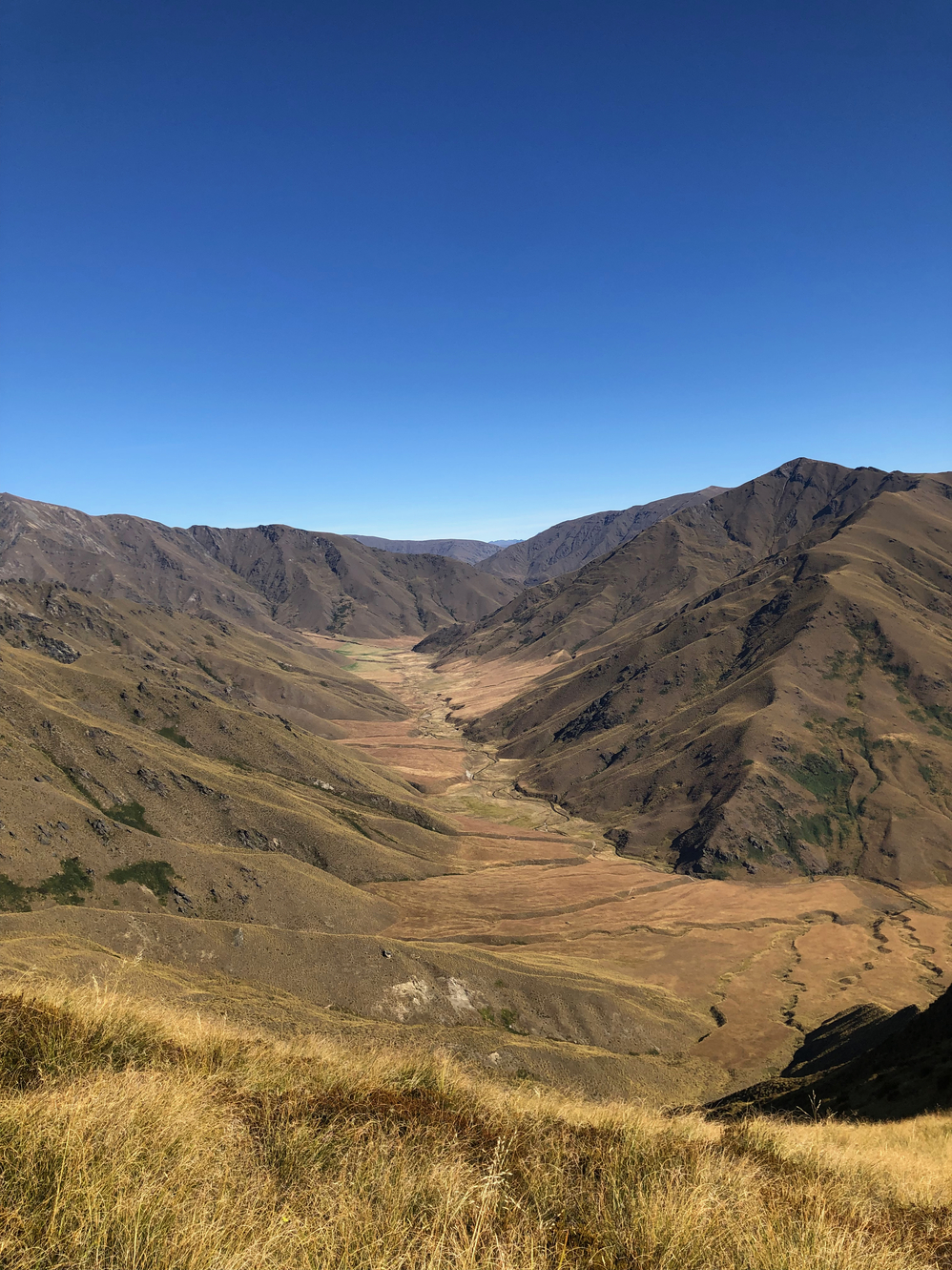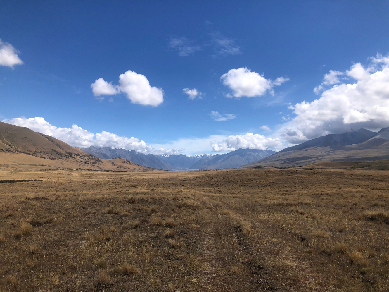
The trail in the morning is pretty cruisy and easy to follow as I pass tons of NOBO hikers. I run into the Czech couple I met on the North Island(Martin(Cowboy) and Jay) around midday taking a lunch break. Without much fuss I get to the road and start to hitch to get to Mount Sunday where the fictional city of Edoras was filmed in The Lord of the Rings movies. My first hitch is actually by the shuttle operator for the Rangitata River which is another river that TA hikers avoid due to possible dangerous conditions. He drops me off in front of Mount Potts Lodge as he goes to pick up his clients. Shortly after a French couple in a caravan grab me for the rest of the way.
As I arrive at Mount Sunday I see tour buses pulling out of the parking lot and am relieved to have accidentally timed this perfectly. I do the short climb up to the small peak and take my photos to prove I was here. I chat with a group of German tourists and with another girl from Britain. On the way back I get ahead of them all and the British girl stops to give me a hitch back down to the lodge.
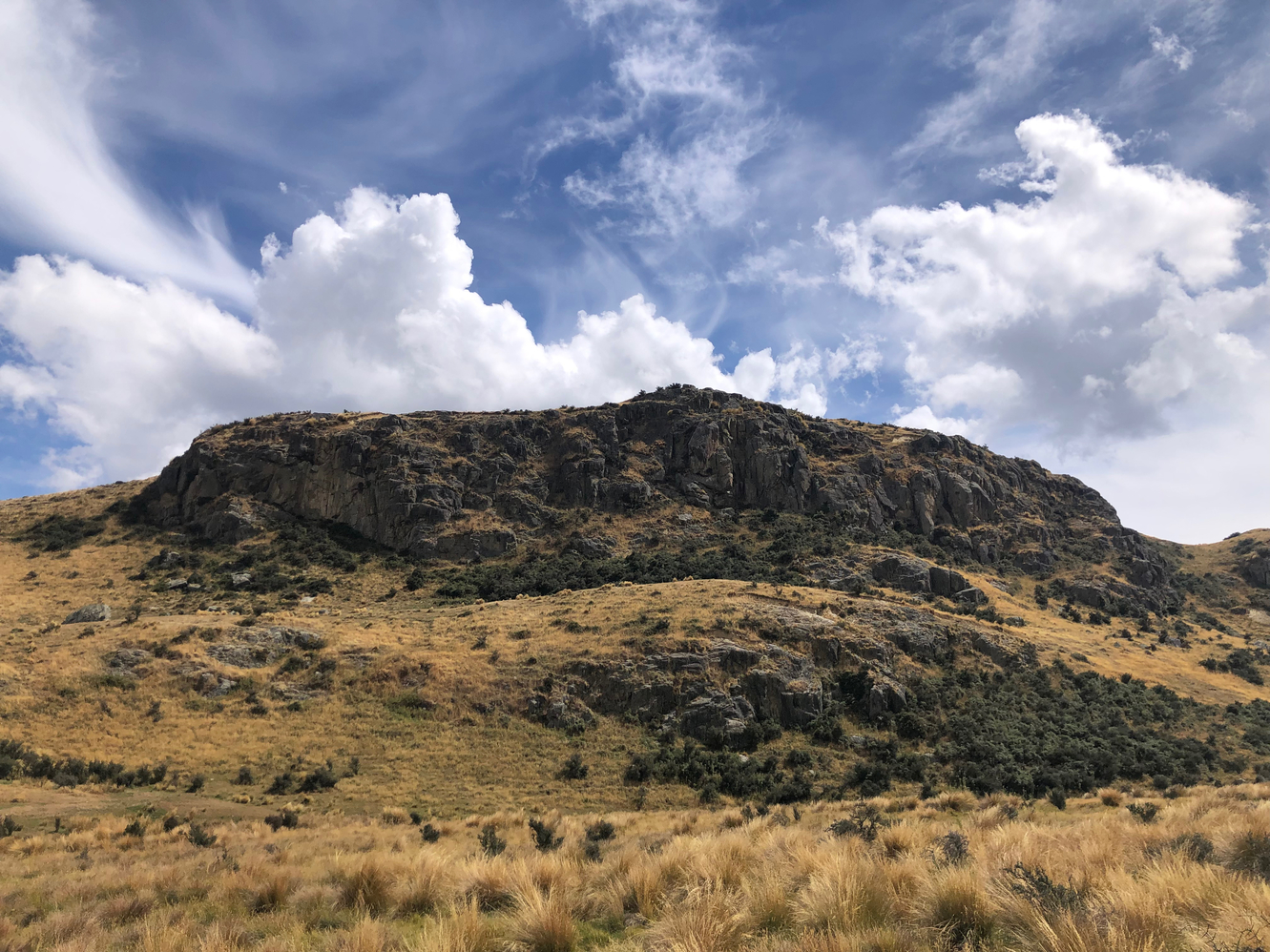

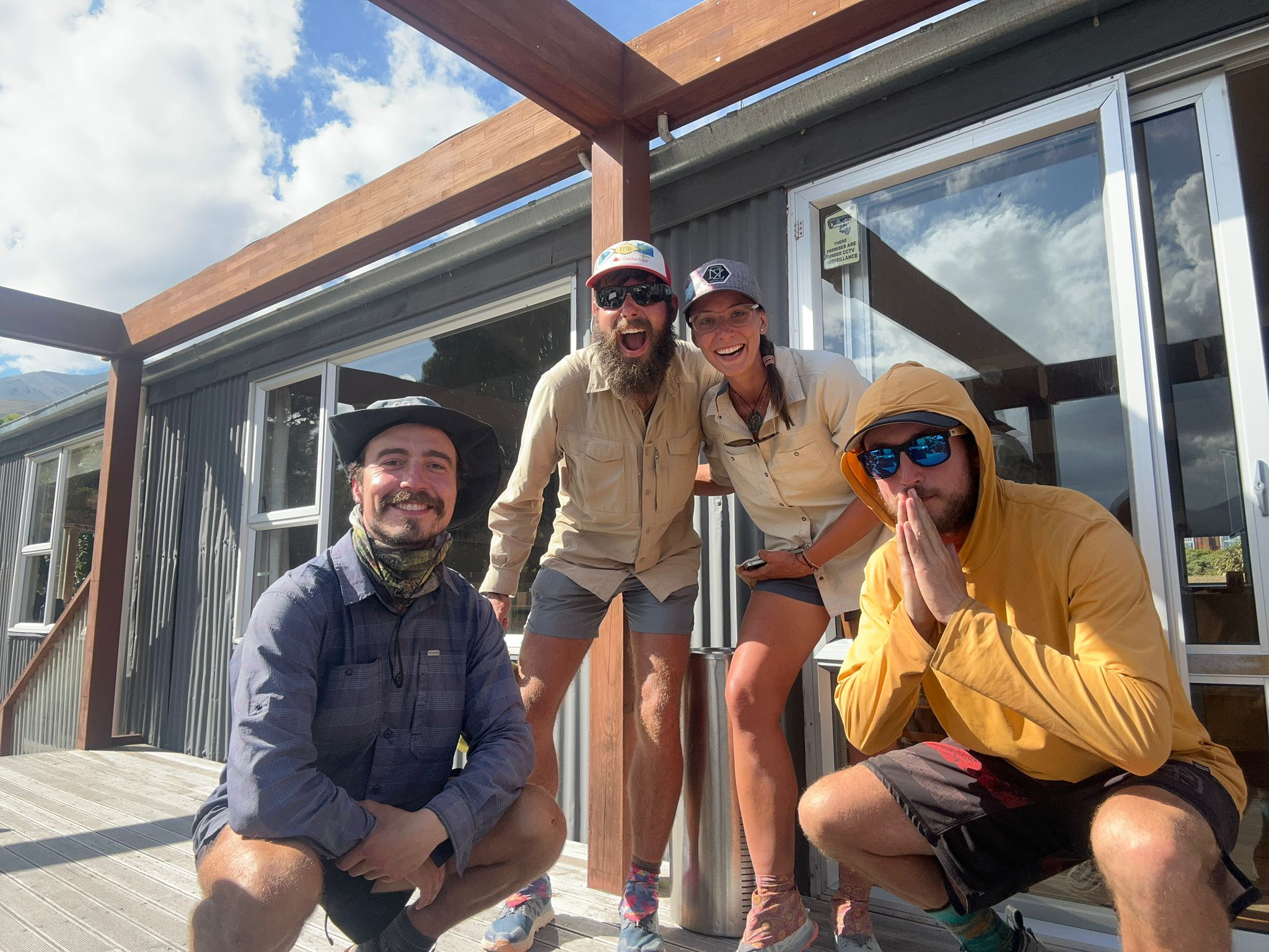
I try to order fries and a ginger beer but my card is still not working. Eventually after trying twenty times it is accepted but the server only charged for the fries. I let him know and he was so annoyed that he lets me have the ginger beer for free! I spend some time chatting with Cowboy, Jay(Detour) and Wild Turkey to decide what we want to do. The Czech couple will stay a night and go to Mount Sunday tomorrow but Wild Turkey and I are keen on trying to cross the river. After mulling about we finally head out at 1700h.
A quick double check that the conditions are ideal and then we start the XC for the Rangitata River. It is a impressively large braided river system that I could clearly see from the top of Mount Sunday. The reason why it is dangerous is that it has a massive watershed, and so rain way off out of sight in the mountains can suddenly and drastically change the water levels downstream very quickly. There hasn't been any rain in the surrounding Alps off to the west for at least a week so it should be doable. Despite this I have anxious thoughts of getting swept away as we continue to approach.
We arrive at the first braid blocking our way and it is deep teal blue, moving fast and the bottom is a bit obscured. All signs that we should find a better place to cross. In the moment though that rational process is missed so we just jump right in to cross, laughing and taunting the river. Just before the middle of the crossing the water is crotch high and pushing me downstream with every step, barely maintaining grip. I don't feel in serious danger but I don't feel particularly safe either. With steady, strong strides we both manage to get across without issue. A little more sober, I tell Wild Turkey that we will be smarter about the rest of the braids.
The rest of the crossing are dealt with and we take a few moments before each to assess where to cross. We do six or seven such crossing and manage to keep the water level below our knees. Before we know it we are on the other side and we feel unstoppable. The sun is already behind the massive Two Thumb Range in front of us as we try to navigate out from the riverbed back to trail. I have a hard time finding a wild camp spot as it seems like a herd of sheep had been through the area and carpet bombed it with shit. Eventually we settle down for a humid night.
Wild Turkey and I plan a big day today as we will go over two major saddles. First we cruise down the riverbed of Bush Stream and then begin a steep climb up and over Crooked Spur Saddle. At the saddle I reconnect with Anouk, Quintin, Julie and a new girl who's from Halifax. I ask around because earlier in the day I had found a pair of abandoned socks, and it turns out to be Anouk's. In a twist of fate Wild Turkey comes up from behind and he has my pair of sock which somehow I had lost this morning!
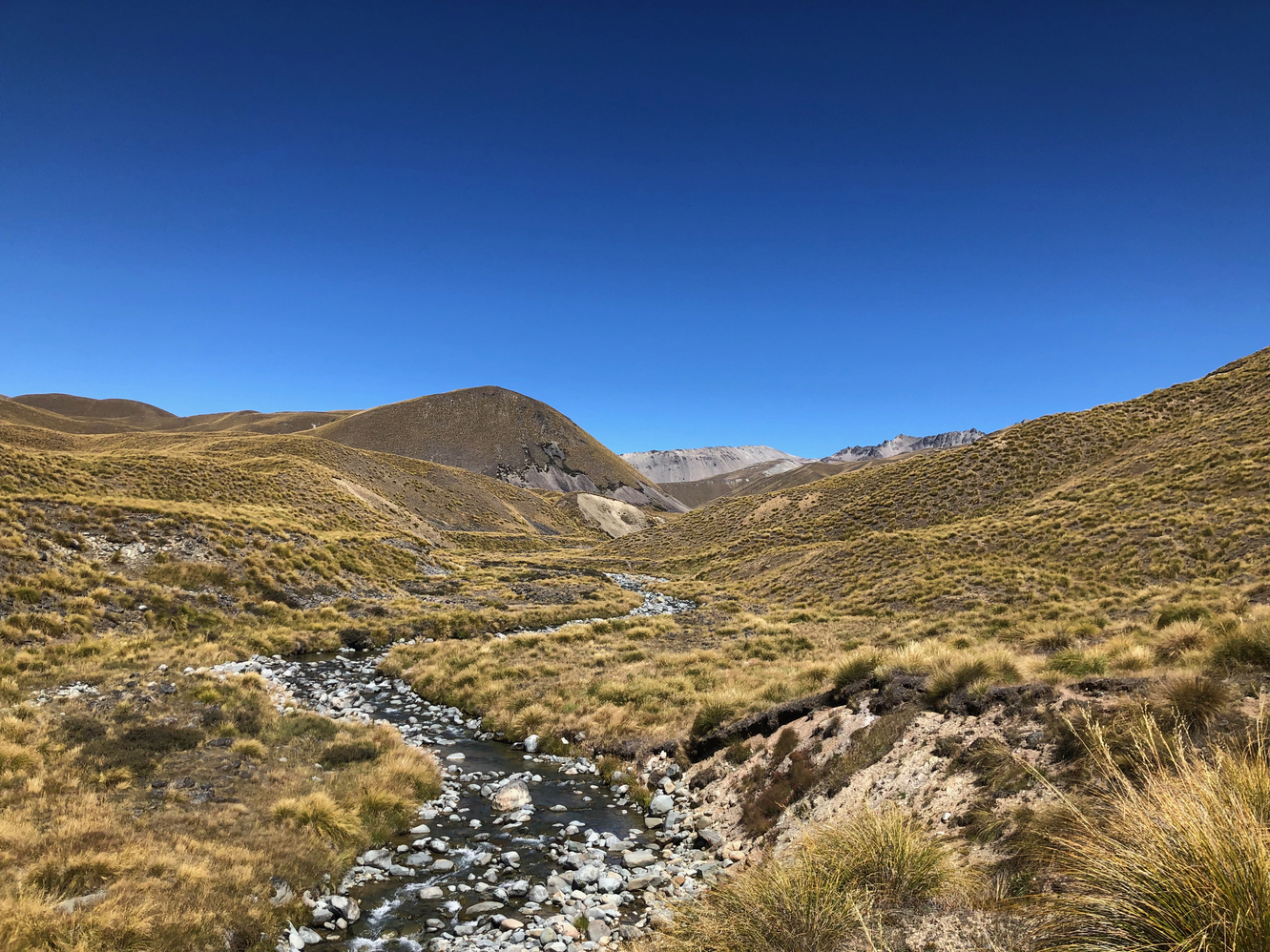
Descending down I keep blasting past more and more NOBOs. The real goal for today is the high point of the whole Te Araroa, Stag Saddle which sits at a fairly humble 1925m(6316ft). The climb is a good bit of fun and I meander along my own path swinging wide of the intended route. Eventually I crest onto the saddle and am not yet satisfied as I see Beuzenberg Peak looming over me. I race off hopping over boulders to climb the higher peak. I get my first good glimpse of the Southern Alps and see what I think is Aoraki(Mount Cook) herself clad in snow peaking out in the distance. Overlooking Lake Tekapo down below I spend the next hour racing down the ridge line parallel to the lake.
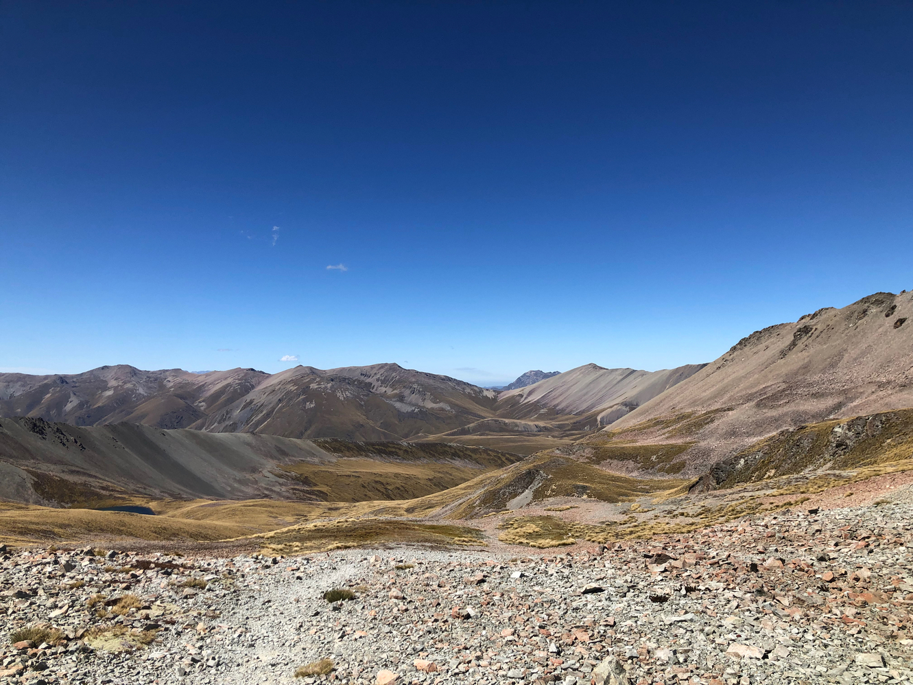

Eventually I make it home for the night, Camp Stream Hut. On the way I meet a German NOBO who's taken three months to get here, having done every possible detour he came across! At the hut I reconnect with Soo and meet Judith from Germany, Paul(Inspector Gadget) from the Netherlands, Angela from Germany and three other hikers who decide to wild camp on a plateau up ahead. I let my gear dry in the ebbing sun light and borrow needle and thread from Paul to sew my shredding hiking shirt. The wind picks up as Wild Turkey shows up and everyone takes shelter in the small hut. The wind howls and shakes the tin hut all night.
We passed a NOBO the day before that mentioned there is a buffet in town. Wild Turkey and I are determined to eat there today so we blast off. The speedy kiwi that I had met at National Park and Hurunui Hut had arrived late and camped outside, joining us in our morning hiking. We pass Annie, who I had met months ago on the North Island, and a American-Canadian girl, Maggie. We are eventually spit out on a 16km(10mi) roadwalk into the town of Lake Tekapo and then straight to the buffet for lunch. It sucks. I eat three plates of the blandest tasting food I've ever had just to get my money's worth. The only thing that was palatable was canned peaches in syrup and small packets of ice cream, so that says a lot.
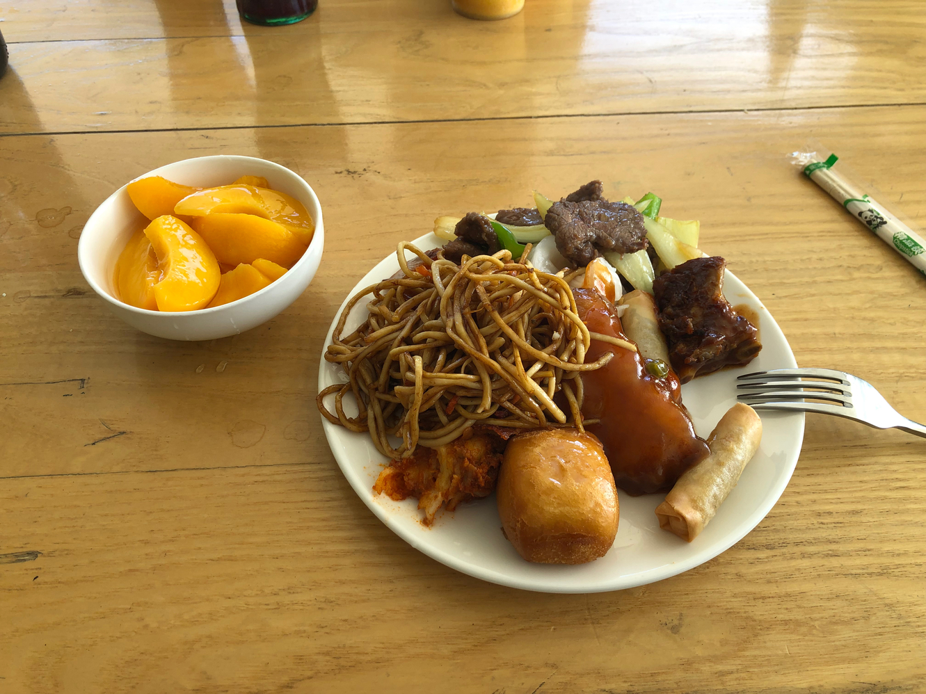
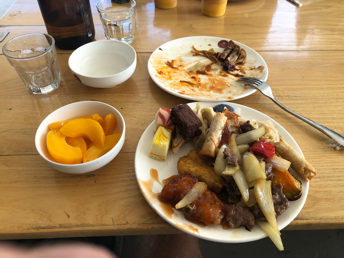
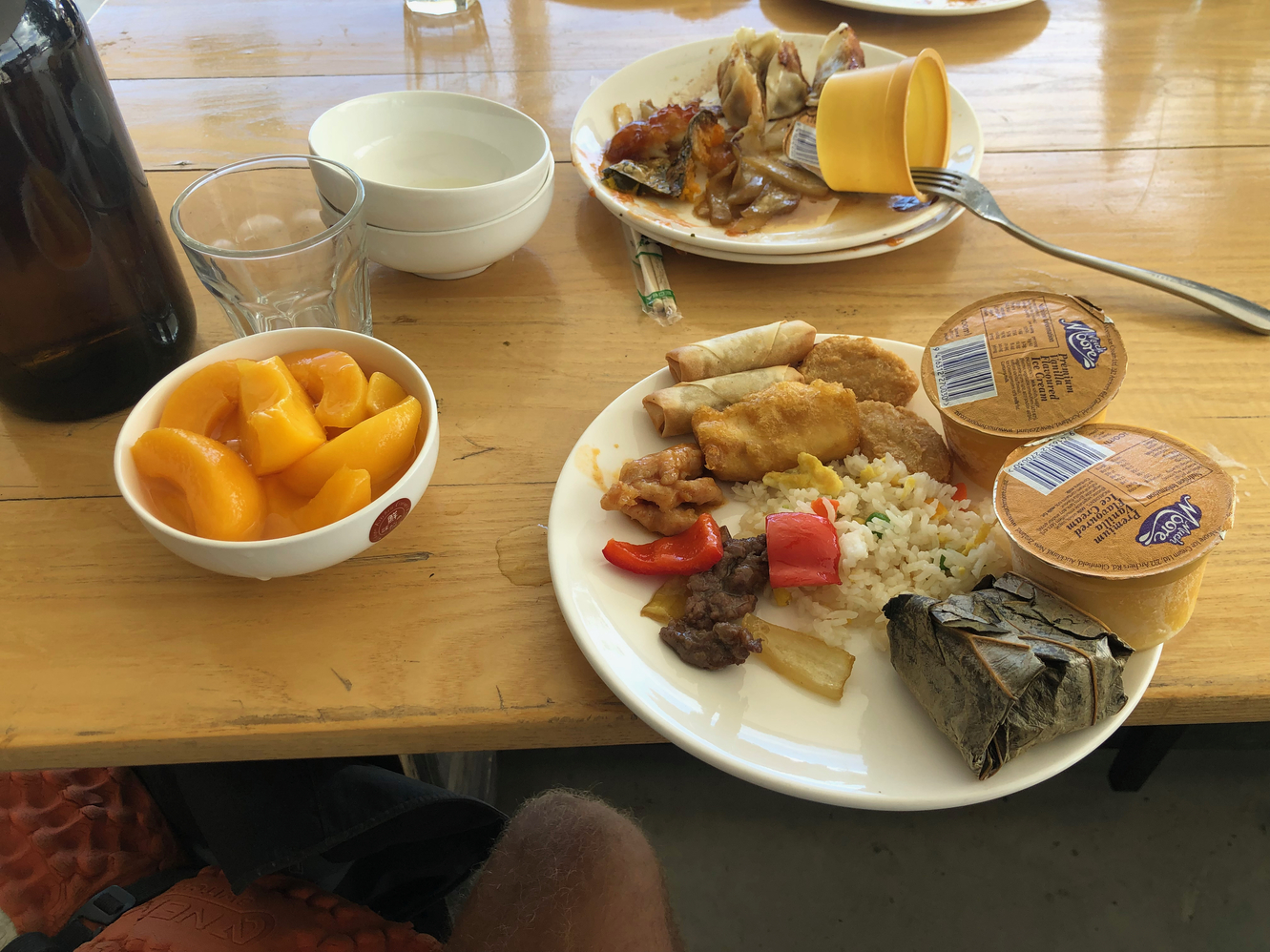
My stomach feels like it is about to burst as we try to navigate the extremely busy and touristy town for accommodations. We discover everything is booked up and so we contact a local who offers camping on their property. Calling Billy the Bard, he says he still has space for us and will pick us up in an hour. I go full hiker trash mode and take a nap on the sidewalk to let myself digest the unholy spawn that I engulfed at the buffet. Eventually Billy grabs us so we are able to shower, laundry and setup our tents. Annie, Maggie and Paul join along too at Billy's place and I take the opportunity to do a bit more sewing with Paul's kit.
A few hours pass and I'm hungry again so Wild Turkey and I head over for burgers in town. At 2200h we head out to see a performance by Billy in the pitch dark. Lake Tekapo is a dark sky preserve so the night sky and it's stars are visible without the interference of light pollution. Billy tells us about the different stars, planets and Māori customs related to celestial bodies. It's a great time.
The morning start is a bit slow and I'm surprised to find frost on my tent. I head into town for breakfast before leaving. I'm not too excited for the next section which is essentially a cycle path for the next two days. Most hikers opt to hire bicycles for this section but I decide to hike. Of course the weather is perfect and the sun is blistering hot on this path that has no shade. I make good time at least cruising down Tekapo Canal and south of Lake Pukaki with views of the Southern Alps in the distance to break up the monotony. Around midday all the hikers with bicycles pass me with words of encouragement.
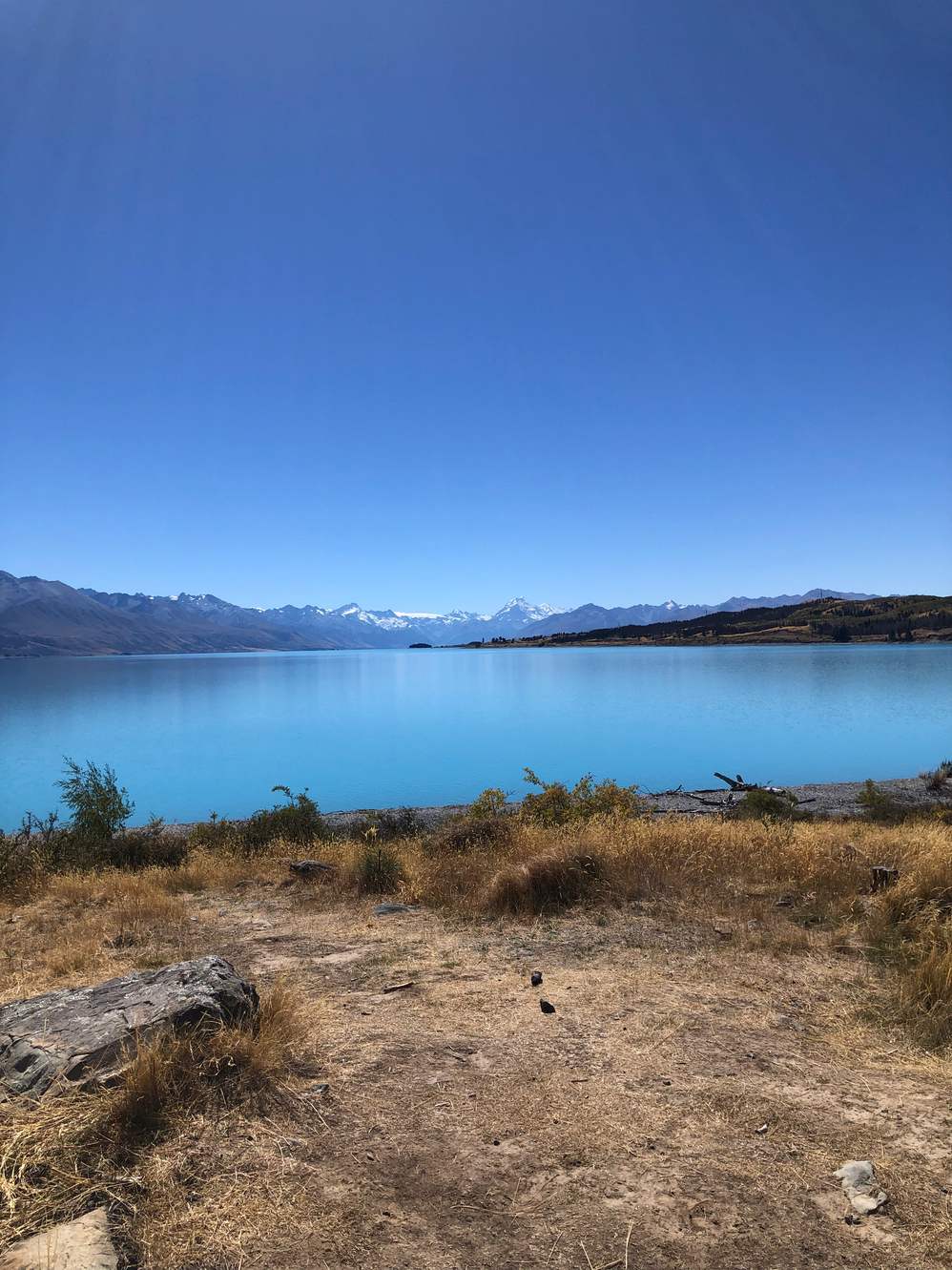
In the late afternoon I arrive at Twizel and head in for a resupply. I plan to continue on and wild camp along Ohau River but I run into Quintin who mentions all the hikers are in town at the Holiday Park. I walk into the Holiday Park and setup my tent near a bunch of hikers and an elderly kiwi couple. The kiwi's start to chat me up and are very interested in my story. The wife ends up offering me a nice dinner of fresh salmon, avocado and spinach. I'm very grateful because my plan was to eat a bag of chips and drink 1.5L of cola for dinner. They give me a seat and we chat for awhile. Eventually I break free and go chat with some other hikers: Bryce and Hannah from America, and Tamara(Cool Beans) from America who I had met last year on the CDT!
I leave at 0730h and blast. Today views are not great but the cycle path continues. Chris and Amy pass me on bikes along with the rest of the hikers before noon. I meet and hike a bit with a Swiss hiker Martin. He tells me how he lives like a nomad, renting out his property back home and sailing around the world. With some help from him I convince myself to take the day a bit more relaxed so I do a 3km(2mi) detour to Lake Ohau Lodge. I order a massive plate of nachos and chat with Bryce and Tamara before heading off in the evening to camp for free. I camp near a picnic table and am joined by a NOBO couple from the Netherlands. Wild Turkey arrives after dark.
The day start off with a decent climb and then plenty of water crossing as I follow the Ahuriri River East Branch. There are some stunning waterfalls on the way and I stick to the riverbed as much as possible. Eventually the branch connects with the main river and this is considered the hardest river crossing along the official Te Araroa. The Ahuriri is another braided river but without much precipitation in the last week the water levels are low. I check for the best crossing but decide just to cross directly where the trail hits the river side, straight across. The crossing is relatively shallow and provides no challenge.
On the other side of the river I follow 4WD and cow tracks through grazing fields and snaking streams of the Avonburn. I am slowly lifted out of the cow's valley onto an easement while passing some NOBOs. I pass a private tin hut and talk with a SOBO hiker from the Netherlands, Anna, who is stopping early due to heat stroke concerns. From here I jump off the offical track to follow an alternate up Melina Ridge. The path is obvious and for the most part a wide 4WD gravel track.
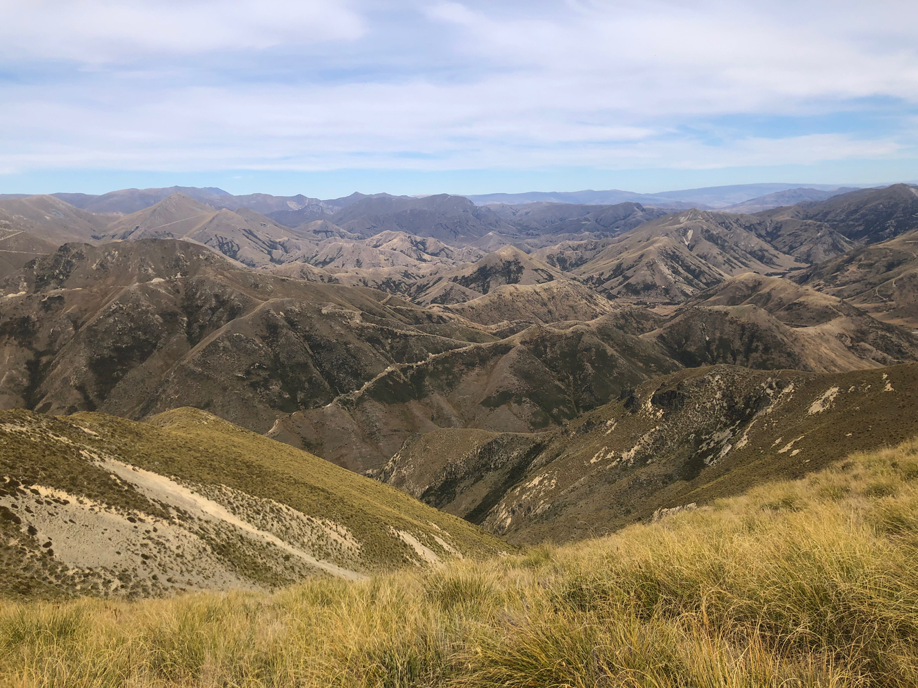
Despite seeing tons of names in the logbook the alternate is empty and I have it all to myself. I climb up and stay around 1600m(5250ft) through the afternoon with expansive views of the surrounding valleys. It seems like every mountain in the area has zigzagging gravel roads cut into them probably evidence of long past mining operations. I take a detour from my detour to climb up to the top of Mount Prospect before a long descent back to the TA. I back track a few kilometres northward on trail to end the day at Top Timaru Hut. It's unfortunately full so I have to camp but I get to reconnect with Dom! Wild Turkey arrives eventually not having done the alternate.
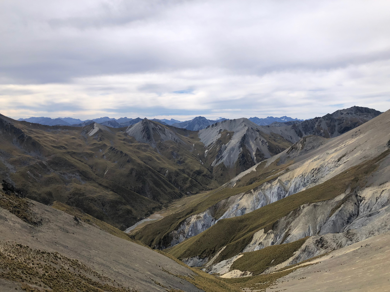
The morning has me river bashing down the Timaru River for hours. Once again I ignore the trail and choose instead to find my own path along the riverbed itself. I pass all of the hikers that stayed in the hut overnight and catch up to Wild Turkey who left ahead of me. I convince him to join me in the river and we end up missing a junction where the trail turns off the river. With some scrambling and getting lost we finally make our way back to the trail and endure an insanely steep climb up to Stodys Hut.
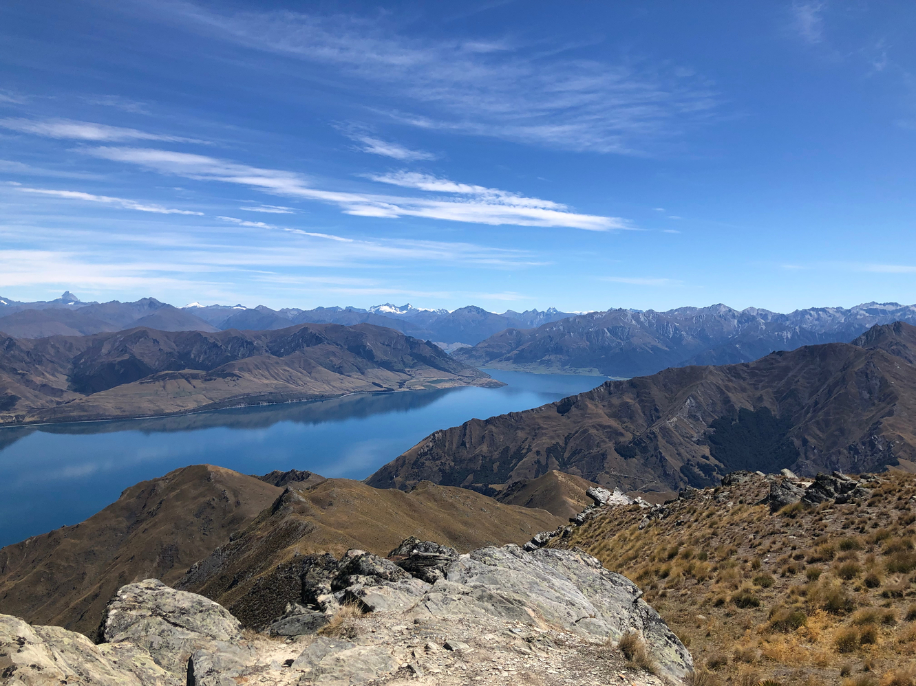
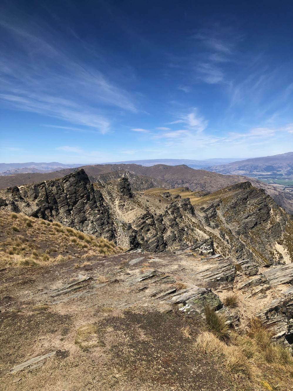
After a short break I continue on and finally break above the treeline. Amazing views all around of the yellow tussock covered mountains as I march for Breast Hill. I failed to fill up on water when I had the chance and the sun exposed walk starts to wear on me. The next hut ahead may or may not have water according to comments... I pass herds of grazing sheep as I climb to the peak. On the way day I notice groups of sheep scaling directly down sheer rock faces, how I wish I could do the same. Eventually I arrive at Pakituhi Hut and there is water! I take only enough to get me down to town and continue.
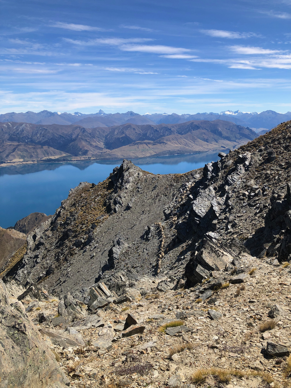
Every 20m(65ft) I descend I can feel the temperate increase as my afternoon is consumed by a steep and technical downclimb to Lake Hāwea. I'm thoroughly exhausted when I finally reach the bottom and race to jump into the lake and cool down a bit. I walk into the small town to inhale a burger, a pizza and a large milkshake while waiting for Wild Turkey. I meet a SOBO British hiker who is apparently e-famous, having her own massive following for podcasting(?). She tells me about a long distance hike in Turkey called the Lycian Way! Wild Turkey eventually catches up and after he has had his fill the three of us walk out of town in the late evening. We wild camp just outside of Albert Town beneath a full moon.
I wake to a red stained sky as the sun plays on the underside of the cloud canopy. The walk is flat into Albert Town as I race to arrive at their famous patisserie for opening. I wait for thirty minutes for it to open. I get a vanilla donut, a salted caramel donut, an almond croissant and a sausage roll. I swallow down the donuts then start walking while scoffing down the rest. Everything I eat is worth the hype. The route takes me along flat pedestrian path along the edge of Mata-Au River and then down the side of Lake Wanaka.
I catch the British girl and we head into Wanaka together. I buy a new hiking shirt and sleep boxers, both have worn away beyond a reasonable use. I then go the post office to pick up a new pair of shoes I had mailed forward when I was at Lake Ohau Lodge. Finally I grab some snacks and razorblades before hanging out at the library. I spend a few hours on a computer planning some alternate routes that I'd like to attempt while I wait for a friend of mine in town who is offering me accommodation.
Eventually Bryannah(Bri), one of my sister's childhood best friends, comes by and brings me to her house. She grew up in my neighbour but has been living in Aotearoa for the past five years and has permanent resident status. Her mom and dad are also visiting at the moment so I spend sometime chatting with them. One of Bri's friends comes over and Bri, the lovely person that she is, cooks us a pasta dinner with wine. The evening is spent chatting away and I even get to sleep on a bed as one of her roommates is current away.
It's hard to wake up and getting going the following day after having slept in such a comfy bed. The real problem is that I am torn on what to do next. I want to do the Cascade Saddle alternate instead of walking the offical TA but in addition having talked with Annie, we conjured a plan to link Gillespie Pass and Rabbit Pass as a lead into Cascade Saddle. The issue was that Rabbit Pass is quite dangerous and I do not have a Personal Locator Beacon(PLB) in case something were to go wrong. Annie says she'd be willing to do the route with me since she'd also like company for worse case scenarios. The issue is that at this point she is maybe a week behind me on trail. I don't want to wait on my ass so I decide to hike the normal TA to Arrowtown then hitch back to Wanaka while I wait for her to catch up.
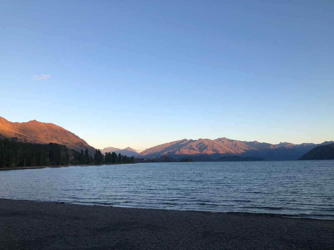
I do a quick resupply before heading out of town then follow a gravel trail to Glendhu Bay. Here the path turns inland and after some road walking I'm on real trail heading on Motatapu Track. With perfect weather I spend the day climbing up and down golden tussock covered mountains. I pass a kiwi couple that are scouting the trail for an upcoming marathon race and chat with a German hiker, Sandrina, who stops early due to having pushed herself too hard. I take a snack break with her before blasting off.
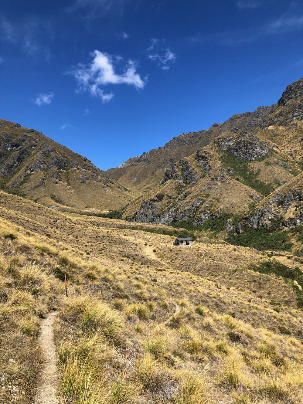
I climb over four or five ridge lines over the course of the day before ending at Roses Hut in a wide valley. I meet a bunch of NOBO and SOBO hikers from the Netherlands and a NOBO American girl. I feel really strong today after all the extended climbing, knowing that I could have continued further if I had wanted to. The speedy kiwi who I had been seeing in the past catches up as well and we discuss a potential 52km(32mi) tomorrow in order to finish the Queenstown section.
