Growing up in Southern Ontario anytime you go on a nice hike you'll mostly likely find yourself along the Bruce Trail. The longest marked trail in Canada, running over 890km(550 miles) from the tip of Tobermory down to the Niagara River. It follows a unique rock formation known as the Niagara Escarpment. Having hiked many sections close to the city I decided to give the trail a bit of thruhike love.
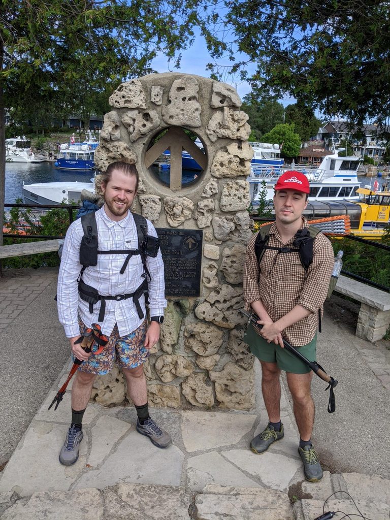
I invited my friend to join me on a month long thruhike of the Bruce starting from Tobermory. Long distance hiking of the trail is not very common. There are lots of road walking sections and it's mostly along privately owned property. Officially camping along the bruce is prohibited so it requires extensive use of transportation to and from BnB's. Doing my own research I found an old GPS route for the entire trail and began plotting potential camping spots, resupplies and water sources for our trip. Here are the fruits of my labour for your own use: Link
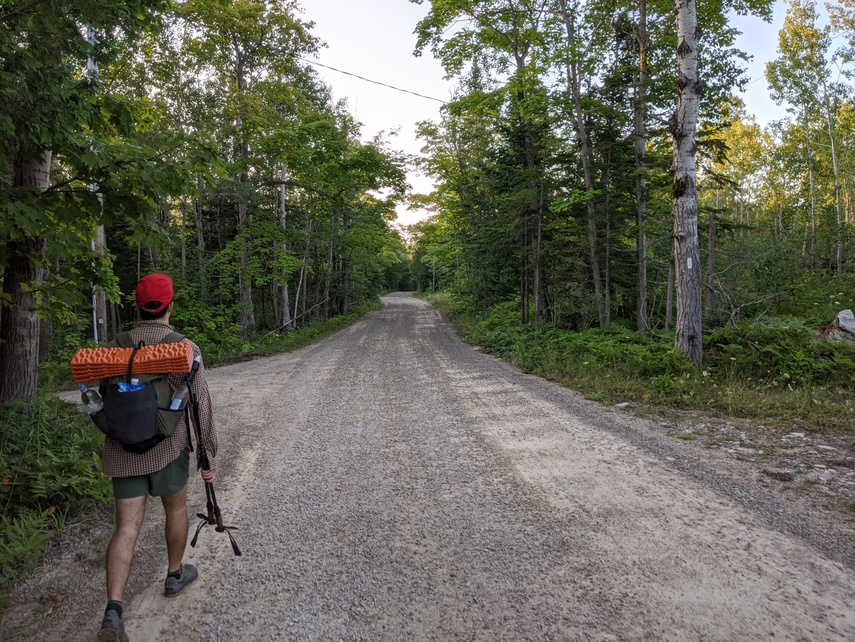
With the route planned as best as we could, we gathered up our gear and drove 300km(186 miles) to the starting point. Although things didn't go as planned we made the best of it. We finished the proclaimed 'hardest' and 'most beautiful' section of the trail before calling it quits. Here's a short journal of the trip:
Arriving at the port town of Tobermory early in the morning we were greeted with a windy and clouded sky. We made our way to the northern terminus monument to say goodbye to my family and started hiking.
Entering the Bruce Peninsula National Park, the initial path was wide and soft but that would change quickly after a few kilometers. We became well acquainted with the style of trail, rocky outcrops barely poking out of the ground which we would have to traverse constantly.
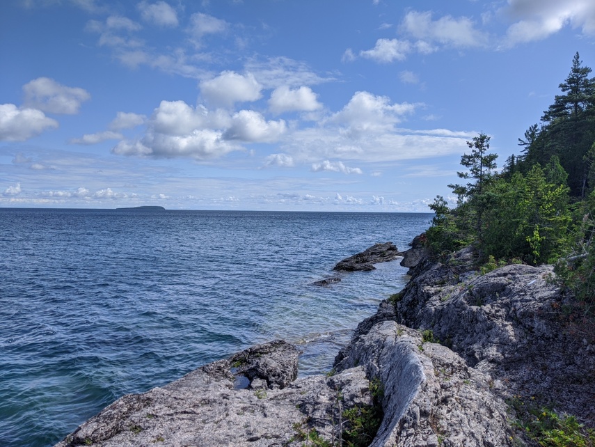
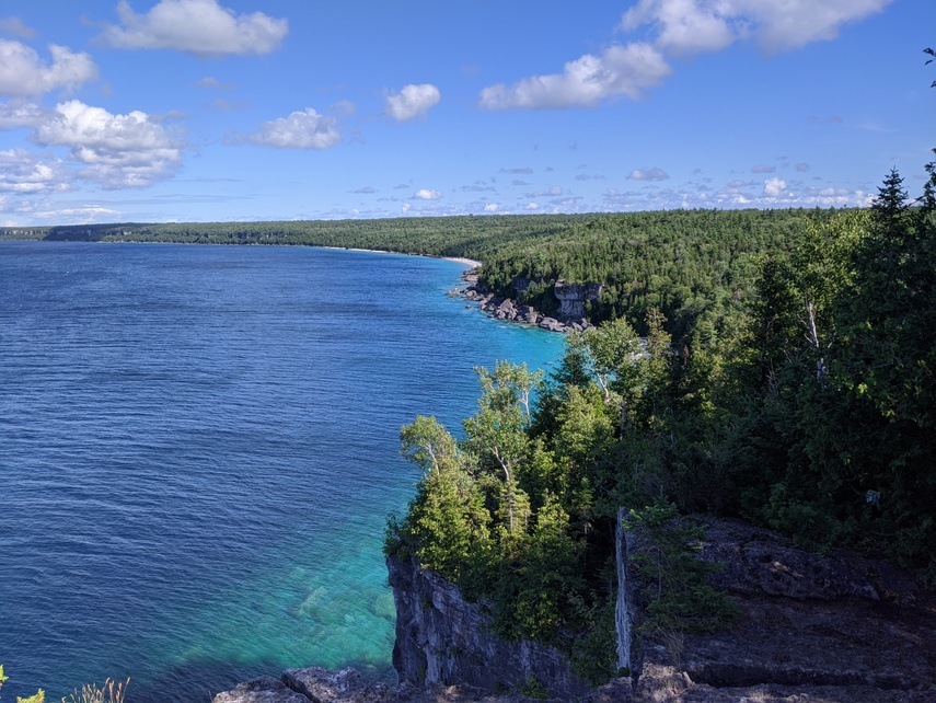
Progress was deliberate and the views were stunning. As we twisted and turned along the escarpment the trail would spit us out right by the crystal clear water that is a signature of this stretch of Lake Huron. Water was no issue and the cloudy day provided a nice climate for hiking.
After constant short bursts of ascent and decent we began to look for flat, non-rocky, sections were we could stealth camp for the night. All in all a happy start with around 24km(15 miles) completed.
Sleeping outdoors for the first time in a while is always a little unsettling. I cowboy camped and was worried at every little rustling in the dark. According to 2016 estimates there are probably around 90 black bears in Bruce Peninsula National Park and around 300 total on the whole peninsula region. That being said I have never heard of a bear encounter being reported. Anyhow there were no bears and only my imagination to keep me company during the night.
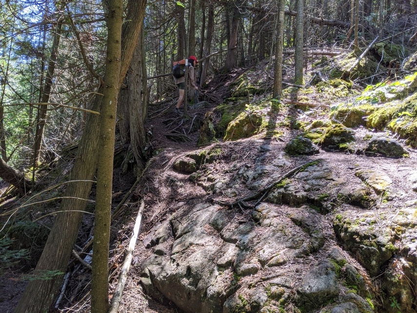
The hiking for the day started off as tough as it ended the day before. From rock to rock, we made our way with our slow balancing act to reach the southern boundary of the national park. We passed through swamp and marshland that was near over flowing from the rains that had swept the area last week. A family hiking in the early morning was kind to donate a litre of fresh water to me, saving me from filtering out of a swampy pond.
Upon leaving the boundaries of Bruce Peninsula National Park the trail took us on a prolonged road walk. There was very little tree cover and it was hot! We spotted a few sandhill cranes and later a fox crossing ahead of us on the trail. Following along the path meandered through some cow pastures trying to avoid all the patties they left behind and in the early afternoon made it to Dyer's Bay. We took a nice long relaxing break by the water's edge to let our feet breath and to fill up on water.
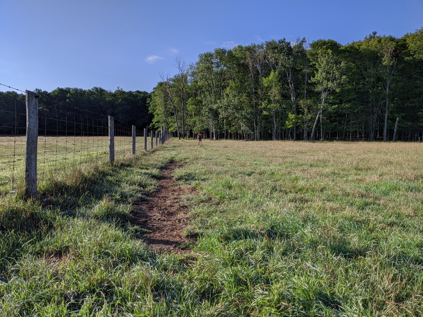
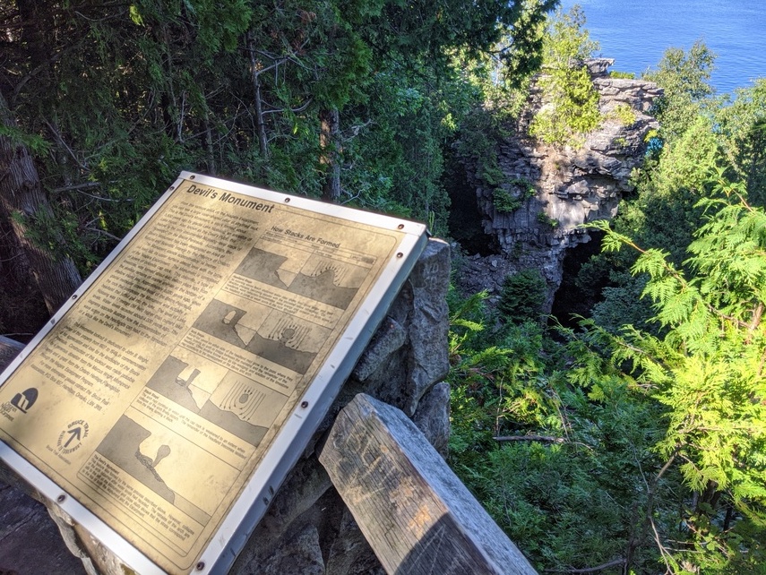
After recuperating we headed out to crush some more miles. The stretch goal was to reach Reed's Dump which is a free wilderness camping spot, but it was very far away and it was looking like there was no way we would get near it by end of day. Coming up on Devil's Monument in the early evening we decided to once again take it easy. We spent a few hours again relaxing along the water's edge and quietly set up camp nearby as the sun fell. With bear troubles out of the way a pack of local chipmunks kept us company periodically throughout the night.
Once again up and early we hit the trail to begin rock hopping. The weather was agreeable but soon mosquitos came out to play. Despite using bug repellent they swarmed my face and legs for a couple hours. It began to really wear me out mentally as the constant buzzing filled my head.
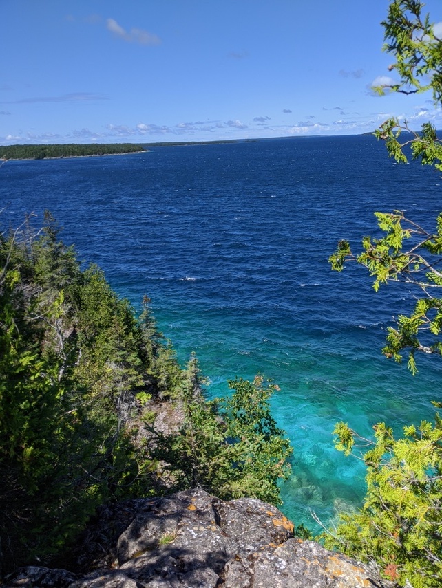
Despite the bugs we made great progress. The goal was to reach and pass Lion's Head before nightfall. The approach to the town seemed to be a never ending road walk. With the sun at its peak and myself all bundled up to avoid sunburn, I melted my way to town. Arriving at the local Foodland to resupply then over to a park by the water, we spent a few hours hiding under some shade. I managed to take a dip into the lake to slightly abate my growing musky odour.
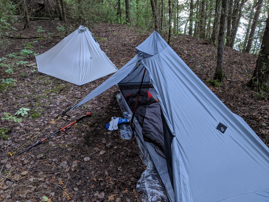
Despite already doing 30km(19 miles) to get to Lion's Head we still had another 5km(3 miles) to go to reach McKay's Harbour, a wilderness camping spot. The forest was extremely humid and our pace was crushingly slow back on trail. Stopping frequently to enjoy the gorgeous views on top of Lion's Head iconic limestone walls added further time to our final mileage countdown. Tensions were high as we were both hurting and exhausted as we arrived at camp. Setting up and laying down for the day it was decided that we'd split and go at our own paces respectively. The night was quiet with what I think was probably fox roaming on the edges of the site.
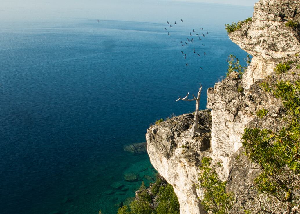
Waking early and leaving solo from camp I pushed myself at a quick pace. My mind was made up to take a softer day as recovery to the one before. After a short road walk the trail graced me with a brand new section that skips a previously large and daunting road section.
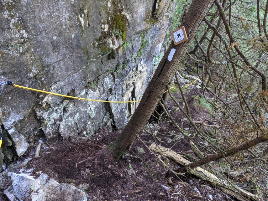
The fairly recently cut trail was quite rough. Signs of recent tool work on the path was apparent but nonetheless appreciated. The section boasted a few near vertical climbs and descents that had ropes to assist hikers. Upon exiting the section, unfortunately, there was a long downhill road walk. The crunchy gravel and beating, heavy steps of going down really rattled my bones.
The reward at the end of the road was an amazing secluded spot along the lake. This is exactly what I'd been wishing for and so I spent the next five hours or so laying down in the shade listening to the water lap against the shore. Near the end of my resting period another hiker came by to chat me up. I let him ramble on for an hour or so while I listened attentively.
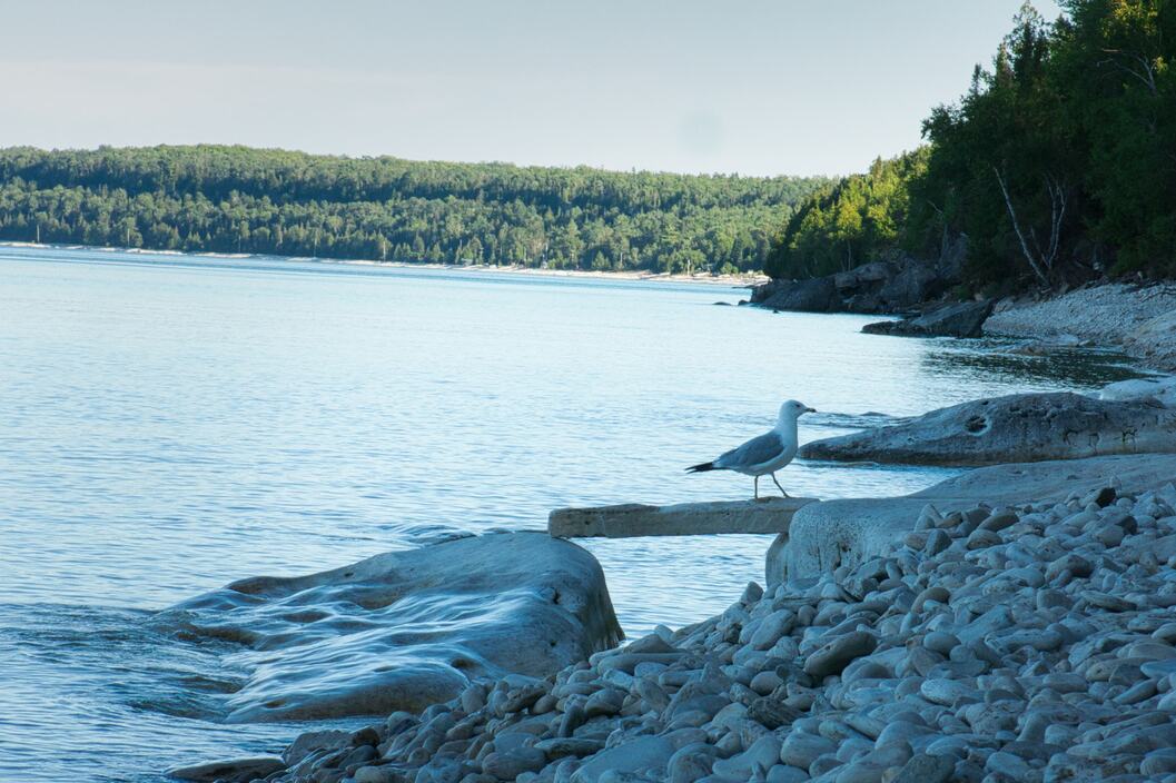
Starting off the hike again in the early evening the trail was very tame and flat. That abruptly changed as it went back to the familiar rolling escarpment and haphazard rocks. I began to worry that camping spots would be hard to find in the rougher terrain. Eventually though I found a nice cozy spot and settled down for a night of rain and high winds.
Despite the rain's best effort when I woke my tent was almost bone dry. The high winds did their job to air it out. The downside was the trail was as slick as ever. The route seemed to not have been well travelled as most rocks were covered in moss which added even more danger with every precarious step.
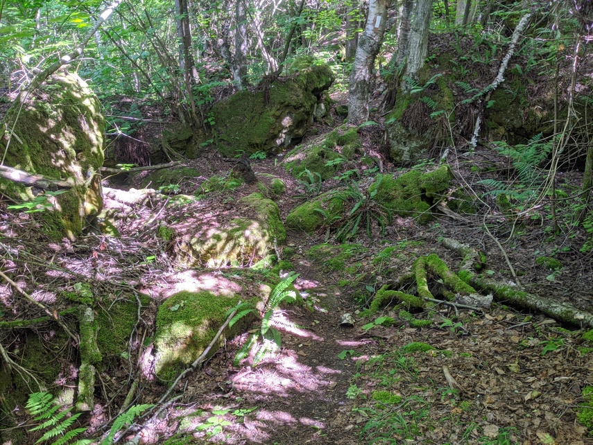
My pack was fully loaded with 4L of water as there was none to be expected until I basically reached town in the evening. Due to the current COVID restrictions there was a massive detour of the Cape Croker section that instead led through swamp and flooded fields. My feet were promptly soaked and I failed to dry them out properly due to laziness or wanting to stop. With a few slips and a handful of near falls I managed to make quick progress towards Wiarton.
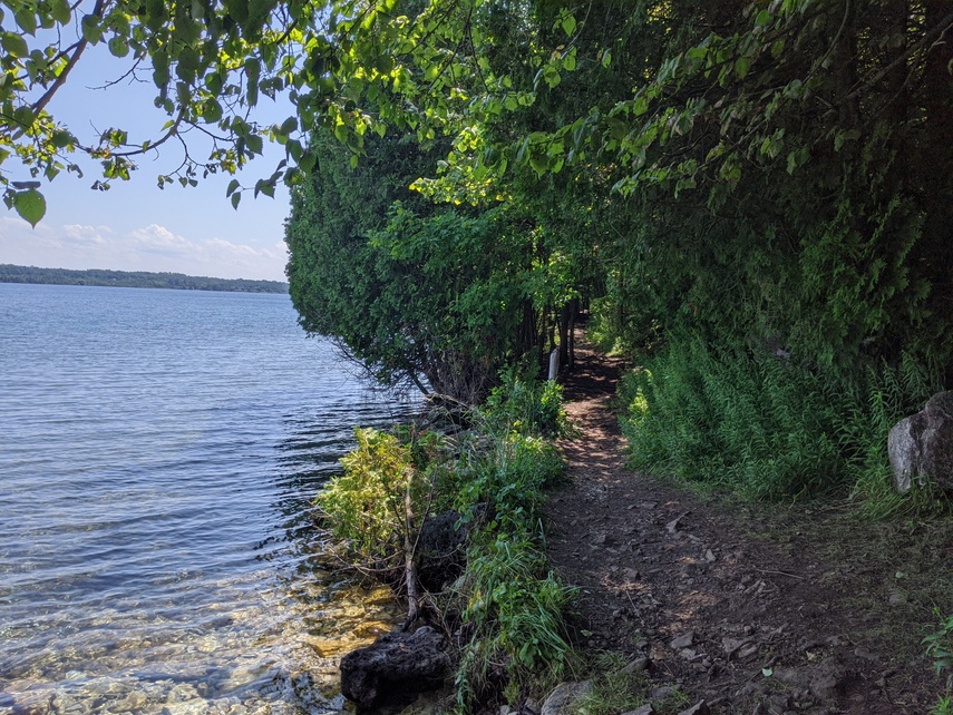
I ended up reaching town 1600h and immediately went to a convenience store to grab together a lunch. I'd bought so much food in Lion's Head that I didn't need to grab any more resupply. I spent the fews hours of the evening in a park by the water properly drying out all my gear and refilling water.
As the day ended I hiked just half an hour outside of town to camp. It was extremely humid with no breeze so I lay in my tent soaked in my own perspiration. The whole night was spent outside of my quilt since it was so warm. Even with a brief spell of rain, the temperature remained high.
Upon reaching Wiarton, officially the Bruce Trail Peninsula Section was complete. Waking up I decided to only go as far as Owen Sound and then end the trip. This was due to a few factors with the main one being I was not enjoying the trail as much as I expected. Having hiked so many sections of it, it seemed all too familiar and even somewhat boring to me to struggle through it all the way to the end. Being stuck in a 'green tunnel' without many inspiring vistas when compared to something like the PCT did affect my mood.
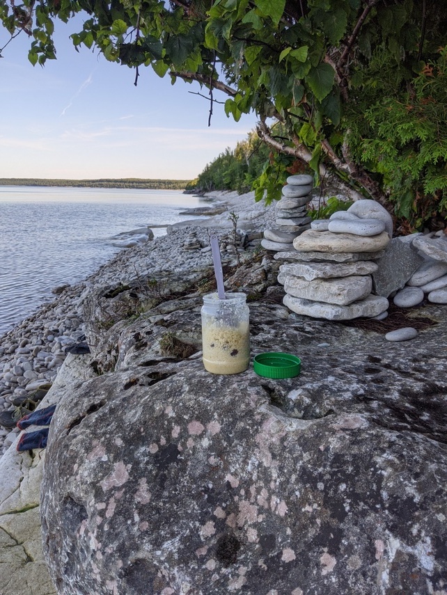
With that in mind I set out and made the snap decision to just end the trip this same day. The way to Owen Sound I'd already seen before and contained many road walks. With logistics no longer a worry I hiked the trail up until Big Bay to where I knew I could spend the day soaking in sun and water until getting picked up.
And so ended my Bruce Trail section hike.
Despite not doing the amazing task of walking end-to-end on the Bruce Trail, I was happy to do what I think is the most unique and beautiful section of it. The important thing is not to force myself into something that I have no desire to continue.
That being said I will probably be going back to the Bruce Trail as I have done dozens of times before for short and leisurely hikes. Here are some useful resources if you are planning an extended hike along the Bruce:
- Guide for the Bruce Trail including water and resupply
- My gear list
- Another blog of a hiker who did the whole trail
- All photos(by my friend)
Hope to see you out there. Happy trails!
Previous Story, The Tasmanian Trail Next Story, The Florida Trail